June 15, 2020
CHARLESTON, W.Va. – Budding middle school Geographic Information Systems (GIS) experts are the Mountain State’s winners of Esri’s fourth annual ArcGIS Online Competition for U.S. High School and Middle School Students. Eight seventh graders, who created story maps describing locations that ranged from West Virginia fairs and festivals to the historical sites of the Hatfield and McCoy feud earned top honors for the state. The winners, including two individual students and three teams of two students, mapped golf courses, restaurants, fairs, historical locations and bridges throughout the state.
West Virginia students in grades 4-8 and 9-12, along with students from 35 other participating states completed research projects about a location or topic within their state and presented their results online. Students or teams submitted projects at the school-level before those winners were sent to the state. The state selected eight winners whom will be sent to Esri, to compete against other state winners. Complete results of the competition, including links to projects by all awardees, are available here.
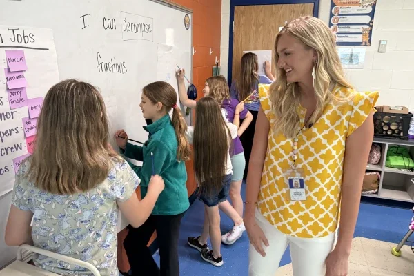
This year’s winners all attend Barboursville Middle School, in Barboursville, W.Va. The winners are Winnie Bird, Marcus Blanks, Erica Egleton, Mahir Irtiza, Christopher Noel, Colt Smith, Kori Smith and Milla Werthammer. These students learned story mapping under the direction of teacher, Molly Fisher. Fisher uses the competition as a way to provide an opportunity to students to further expand their experience with GIS software and showcase their knowledge of West Virginia.
“We are so proud of the hard work these students have put into their projects, which showcase not only their knowledge of cutting-edge technology, but what they love most about our state,” said West Virginia Superintendent of Schools W. Clayton Burch. When our students are interested enough in a subject to put in the extra time required to participate in a contest like this, we know that we have fostered a lifelong love of learning in that child, and I applaud Ms. Fisher for bringing this innovative tool to her classroom.”
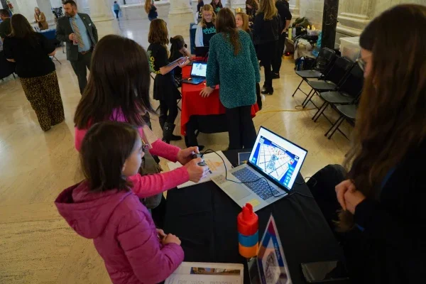
The competition gives students an extra opportunity to use GIS software from Esri, offered free to every K12 school and formal youth club for instruction. After learning basic skills in class, students work on their own to find or create data, integrate layers and analyze relationships, and present their findings in a “Story Map” or web application.
The national prize, for one high school and one middle school project, is usually a trip to Esri’s Education Summit and User Conference in San Diego, Calif., for the student, a parent, and the teacher, in early July. This year, due to the COVID-19 pandemic, the conference will be held virtually.
Esri is a software and app company focused on blending the science of geography with the technology of GIS. This is West Virginia’s fourth year participating in Esri’s national student competition. The West Virginia Department of Education coordinates the state-level contest in West Virginia in cooperation with Esri and the Education Alliance. GIS technology is available for free to every teacher and student in West Virginia by visiting https://wvde.us/middle-secondary-learning/gis/.